
Top 10 Australian Urban Infrastructure Projects (Next 3 Years)
Australia is on the cusp of delivering numerous major infrastructure projects that will uplift urban living standards in the near term. Listed below are our selection of the ten most significant projects (by budget and impact) slated to be completed or reach key stages within the next three years, focusing on roads, rail, and health facilities near major population centres.
Sydney Metro City & Southwest, NSW
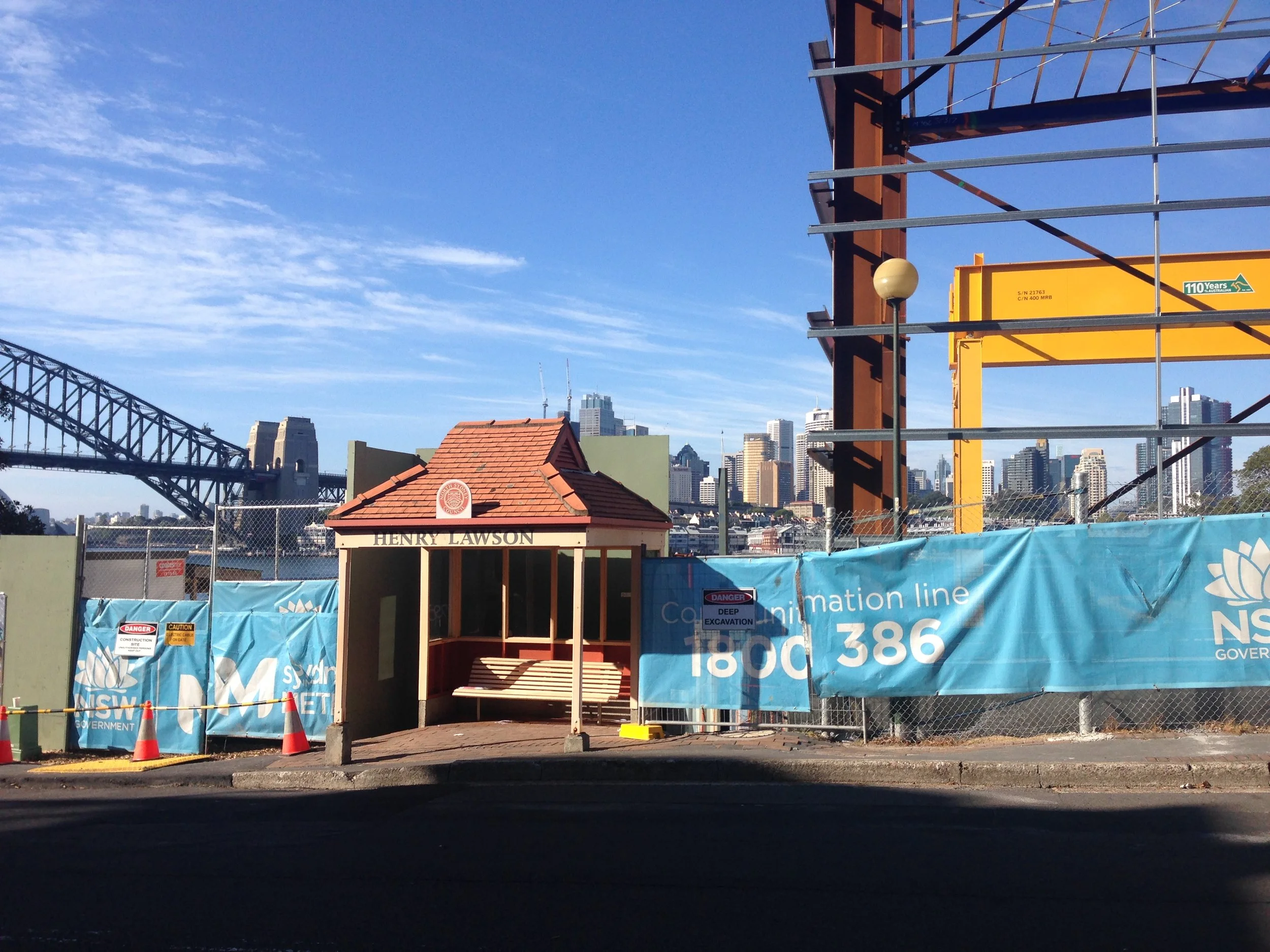
By Philip Mallis - https://www.flickr.com/photos/philipmallis/47640915561/, CC BY-SA 2.0, https://commons.wikimedia.org/w/index.php?curid=104365585
The Sydney Metro City & Southwest project is extending the new driverless metro line from Chatswood, under Sydney Harbour, through the CBD to Bankstown. It’s Australia’s largest public transport project, with costs now estimated around $20 billion . The first section (Chatswood to Sydenham) opened in 2024, and the full line to Bankstown is scheduled for completion by 2025–26. This metro will transform commuting in Sydney’s south-west by replacing an old suburban rail line with a high-frequency metro. Trains every four minutes will significantly boost rail capacity and cut travel times for hundreds of thousands of residents .
Budget: ~$20.1 billion (current estimate) .
Completion: Staged opening began in 2024; full operations expected by 2025–26 .
Impact: New 30 km metro line (with a Harbour tunnel and new CBD stations) will double rail capacity into the city from the southwest, eliminate many level crossings, and run trains every few minutes . This eases congestion on roads and the existing CityRail network while providing faster, more reliable trips for commuters.
Areas impacted: Chatswood – Lane Cove; North Sydney – Mosman; Sydney Inner City; Marrickville – Sydenham – Petersham; Canterbury; Bankstown. (Route from Chatswood via North Sydney and the Sydney CBD to Bankstown covers lower North Shore SA3s through the Inner City and southwest to Bankstown.)
Sydney Metro – Western Sydney Airport, NSW

By John Cowper from Sydney, Australia - Sydney Metro - Western Sydney Airport line announced, CC BY 2.0, https://commons.wikimedia.org/w/index.php?curid=101652970
The Metro – Western Sydney Airport line is a new metro rail linking the western Sydney suburbs to the upcoming Western Sydney International Airport. This 23 km line will connect St Marys to the new airport at Badgerys Creek via six stations. Jointly funded by federal and state governments for around $11 billion , the project is on track to open by 2026, in time for the airport’s first flights . The metro will provide fast, high-frequency passenger transport to the airport and new city of Bradfield, sparking economic growth in Sydney’s western suburbs.
Budget: ~$11 billion .
Completion: Opening coincides with airport launch in 2026 .
Impact: Delivers the first rail service to the new Western Sydney International Airport, with rapid metro trains linking the airport to Sydney’s rail network. It will improve access for Western Sydney’s 2 million residents and support the development of a new economic hub around the airport
Areas impacted: St Marys; Penrith; Bringelly – Green Valley. (Line runs from St Marys to Bradfield via the new Western Sydney Airport , spanning SA3s in outer western Sydney including the airport’s Badgerys Creek area in Bringelly – Green Valley.)
Western Sydney International Airport, NSW

By FNMG - Own work, CC BY-SA 4.0, https://commons.wikimedia.org/w/index.php?curid=154887555
Sydney’s second airport – Western Sydney International (Nancy-Bird Walton) Airport – is a transformative nation-building project. The first stage involves a single-runway, full-service airport designed to handle 10 million passengers per year upon opening . The Australian Government is investing $5.3 billion in this greenfield airport, which is on schedule to open in 2026 . This is Australia’s first new international airport in 50+ years and will operate 24/7 without curfew, providing much-needed aviation capacity and driving economic growth in Sydney’s west.
Budget: $5.3 billion (Stage 1) .
Completion: Late 2026 opening for passenger and freight services.
Impact: Creates a second major gateway for Sydney, boosting job creation and development in the western suburbs. The airport will initially handle ~10 million passengers annually (with expansion plans for the future). By providing a 24-hour airport, it will relieve congestion at the existing Kingsford Smith Airport and improve air connectivity for Greater Sydney and the nation.
Areas impacted: Bringelly – Green Valley. (Located at Badgerys Creek/Luddenham in outer Western Sydney , within the SA3 covering the Western Sydney Airport site.)
Melbourne Metro Tunnel, VIC

By Gracchus250 - Own work, CC0, https://commons.wikimedia.org/w/index.php?curid=165885615
The Metro Tunnel is a city-shaping public transport project in Melbourne. It involves digging twin 9-km rail tunnels under the CBD and constructing five new underground stations at Arden, Parkville, State Library, Town Hall, and Anzac . This $13.4 billion project is due for completion in 2025. Once open, the tunnel will create a new end-to-end rail line from Sunbury (west) to Cranbourne/Pakenham (south-east), bypassing the busy City Loop. By untangling bottlenecks in the existing network, the Metro Tunnel will allow more trains to run across Melbourne and cut travel times for commuters traveling through the city center .
Budget: $13.4 billion (Victoria’s biggest-ever transport project).
Completion: On track to open in 2025 (tunnel infrastructure handed over and testing underway).
Impact: Adds crucial capacity by doubling the rail throughput of some of Melbourne’s busiest lines . The five new stations improve access to key areas (e.g. Parkville’s hospitals and universities). Overall, the project will enable over half a million additional weekly peak passengers to use Melbourne’s rail network , reducing congestion on roads and supporting the city’s growth.
Areas impacted: Melbourne City; Stonnington – West . (New underground rail tunnel from North Melbourne (Arden) and Parkville through Melbourne’s CBD (State Library & Town Hall stations) to Anzac Station at Domain and the connection near South Yarra . These locations fall within the Melbourne City SA3 and the adjoining inner-south SA3 of Stonnington – West.)
West Gate Tunnel, VIC

By BlackCab - Own work, CC BY-SA 4.0, https://commons.wikimedia.org/w/index.php?curid=90209189
The West Gate Tunnel project is a major road upgrade providing a new alternate route to the busy West Gate Bridge. It includes two tunnels (each ~4 km) under Yarraville connecting the West Gate Freeway to the Port of Melbourne and city, plus new elevated connections to CityLink and an expanded West Gate Freeway. With an investment of about $10 billion, the tunnel is slated to open by late 2025 . This project will drastically cut congestion on the West Gate Bridge (which carries over 200,000 vehicles daily) and remove thousands of trucks from inner-west residential streets by giving them a direct freeway route to the port.
Budget: ~$10 billion .
Completion: By end of 2025 (final works and tunnel commissioning underway).
Impact: Provides a second river crossing into Melbourne, improving commute reliability for the western suburbs. The project is expected to take 9,000+ trucks off local streets every day, easing noise and pollution in the inner west . It also improves freight efficiency with better port access, and will significantly reduce peak-hour travel times between Melbourne’s west and the CBD.
Areas impacted: Hobsons Bay; Maribyrnong; Melbourne City . (Includes widening the West Gate Freeway through suburbs like Altona North/Spotswood in Hobsons Bay, twin tunnels under Yarraville connecting to Footscray Road in Footscray/Yarraville (Maribyrnong SA3), and new connections into Docklands near CityLink (Melbourne City SA3).
Cross River Rail, QLD

By Mint0ri - Own work, CC BY-SA 4.0, https://commons.wikimedia.org/w/index.php?curid=128138183
Cross River Rail is a new 10.2 km rail line through Brisbane, including a 5.9 km twin-tunnel under the Brisbane River and CBD . It adds four new high-capacity underground stations (at Boggo Road, Woolloongabba, Albert Street, and Roma Street) to the city’s transit network . Originally budgeted around $5–6 billion (now revised to ~$7–8+ billion), the project is well advanced and expected to commence passenger services by 2026. Cross River Rail is transformative for South East Queensland’s rail network – by creating a second river crossing, it eliminates the inner-city bottleneck and allows more trains to run on every line. This means less congestion, faster trips, and capacity for future growth in Brisbane and Gold Coast rail services.
Budget: ~$7.7 billion (total funding as of 2023, with further increases under review) .
Completion: Construction complete 2025, with new line opening for passengers in 2026 .
Impact: Adds a whole new underground rail corridor through central Brisbane, doubling rail capacity across the river. The project will reduce congestion and improve travel times for commuters from the south and north of the city . It also integrates with other networks (e.g. interchange with the Gold Coast Light Rail and Brisbane Metro) to create a more seamless regional transit system
Areas impacted: Holland Park – Yeronga; Brisbane Inner; Brisbane Inner – North . (10.2 km rail tunnel from Dutton Park in the inner south to Bowen Hills in the inner north , with new stations at Boggo Road and Woolloongabba (in Holland Park–Yeronga SA3), Albert Street and Roma Street (Brisbane Inner SA3), and the line rejoining at Exhibition/Bowen Hills (Brisbane Inner–North SA3).
North East Link, VIC

By BobTanGo - Own work, CC BY 4.0, https://commons.wikimedia.org/w/index.php?curid=156694414
The North East Link is Victoria’s largest road infrastructure project – a multi-stage program connecting the M80 Ring Road in Melbourne’s north to the Eastern Freeway in the east. The centerpiece is a pair of 6.5 km highway tunnels under suburban Banyule and Bulleen . The project also includes widening ~20 km of freeways and installing smart traffic technology. Initially costed around $15–16 billion (current projections exceed $20+ billion), North East Link is being built to open in 2028 . This will finally “fill the missing link” in Melbourne’s orbital freeway network, taking 15,000 trucks off local roads in the northeast suburbs each day and cutting some travel times by up to 35 minutes .
Budget: $16+ billion (mega-project, with recent estimates over $20B due to scope expansions) .
Completion: Late 2028 (scheduled opening of tunnels and all upgraded connections) .
Impact: Creates a continuous freeway ring around Melbourne. The tunnels and new freeway links will relieve congested local roads (removing thousands of trucks from residential streets) . Commuters and freight will have a second river crossing and a direct high-speed route between Melbourne’s east, north, and airport, significantly improving travel reliability and supporting economic growth in the region.
Areas impacted: Banyule; Manningham – West . (New 10 km tolled freeway connecting the M80 Ring Road at Greensborough (Banyule SA3) to the Eastern Freeway at Bulleen (in Manningham – West SA3) , including tunnels from Watsonia to Bulleen.)
M1 Pacific Motorway Extension to Raymond Terrace, NSW and Inner City Bypass
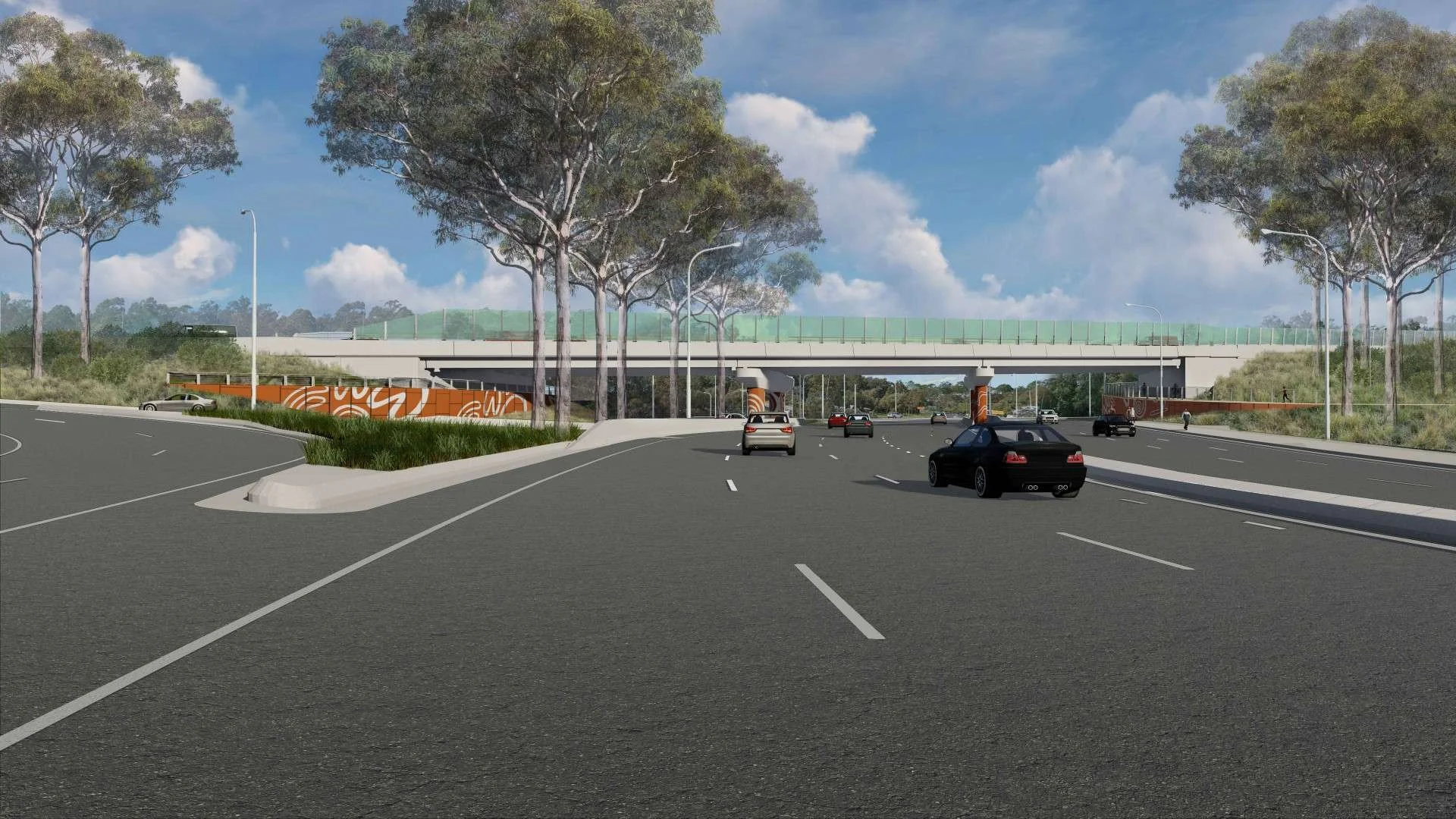
Newcastle Road westbound heading to Wallsend, under new bypass
The M1 Pacific Motorway Extension to Raymond Terrace is a major infrastructure project extending the Sydney–Newcastle freeway (M1) approximately 15 km further north to Raymond Terrace . This new stretch will bypass the congested Hexham and Heatherbrae area, which has been the last urban bottleneck on the Pacific Highway’s Sydney–Brisbane corridor . By creating a continuous, high-speed motorway link from Sydney to just north of Newcastle, the project closes a critical missing link in Australia’s national highway network .
Scope and Key Features
Dual Carriageway & Capacity: Construction of 15 km of dual carriageway motorway (two lanes in each direction) from the existing M1 at Black Hill (near Beresfield) to the Pacific Highway at Raymond Terrace . This will bypass five sets of traffic lights on the current route , creating a free-flowing highway.
New Interchanges: Four new grade-separated interchanges are being built at Black Hill, Tarro, Tomago, and Raymond Terrace, providing improved connections for local traffic and access to the motorway .
Major Bridges: A 2.6 km viaduct (bridge) will span the Hunter River floodplain, the Main North rail line, and the New England Highway . Additional new bridges will cross local waterways at Tarro and Raymond Terrace, and an overpass will be built for Masonite Road at Heatherbrae . These structures will improve flood resilience and maintain local connectivity.
Related Upgrades: The project also includes upgrading the Hexham Straight (about 6 km of the old Pacific Hwy/Maitland Rd) to three lanes each way between Sandgate (Newcastle Inner City Bypass junction) and the Hexham Bridge . This complements the new motorway by improving the remaining surface route for local traffic.
Timeline and Funding
Construction is underway with major contracts awarded in late 2022 . The work has been split into a southern section (Black Hill to Tomago, delivered by a John Holland/Gamuda JV) and a northern section (Heatherbrae to Raymond Terrace, delivered by Seymour Whyte) . The project is jointly funded by federal and state governments at approximately $2.1 billion, with the Australian Government contributing about $1.68 billion and NSW about $420 million . Opening is planned for 2028, with the motorway expected to be operational by mid-2028 (weather permitting) .
Benefits and Impact
Traffic Relief and Travel Times: Upon completion, the extension will remove up to 25,000 vehicles per day from existing local roads and choke points in Newcastle’s outer suburbs . By diverting this heavy through-traffic onto the new motorway, congestion and accidents on the old Pacific Highway through Hexham and Heatherbrae are expected to reduce significantly. Motorists traveling between Sydney, Newcastle, and Brisbane will save an estimated 7–9 minutes in travel time during peak periods , as the new route eliminates traffic lights and lowers the risk of delays.
Freight and Corridor Efficiency: The M1 extension/bypass will greatly improve freight movement along the Sydney–Brisbane corridor, a nationally significant freight route . The existing highway through Newcastle carries a heavy mix of local and interstate traffic (including freight to the Port of Newcastle and Hunter Valley industries) . Bypassing the suburban stretch will allow trucks and long-distance traffic to avoid stop-and-go conditions, boosting freight efficiency and reliability. In turn, this supports economic growth by better connecting Sydney, the Hunter region, and South East Queensland .
Safety and Local Livability: By design, the new motorway will enhance road safety for both local and through travelers. It features modern safety standards (controlled access, no at-grade intersections) and will reduce conflict points. Local communities in areas like Hexham, Heatherbrae, and Raymond Terrace will see improved livability with tens of thousands of vehicles (including heavy trucks) taken off their local streets. This means less noise, lower accident risk, and reduced congestion on the existing roads that serve those suburbs . Overall, the bypass will transform regional travel patterns, making trips faster and safer for commuters and tourists while also improving connectivity between Newcastle and its surrounding regions .
Regional Significance
Continuous Freeway Link: The project, together with the separate Coffs Harbour Bypass in NSW’s north, will complete a continuous dual-carriageway (freeway) link between Sydney and Brisbane . For the first time, drivers will be able to travel the entire route without encountering urban traffic lights. This is a milestone in the decades-long upgrade of the Pacific Highway and has national significance for interstate travel.
Newcastle and Port Stephens Areas: The extension directly impacts the Newcastle and Port Stephens local government areas. It begins at Black Hill (Beresfield area) in the City of Newcastle and connects to the Pacific Highway at Raymond Terrace in Port Stephens Shire, effectively forming an outer bypass of Newcastle. Newcastle stands to benefit from reduced through-traffic on its local network, particularly around the congested Hexham industrial area and bridge. Port Stephens will gain improved access via the new Raymond Terrace interchange, and its communities will see through-traffic diverted away from local town centers like Heatherbrae. In summary, the project will not only ease intercity travel but also significantly improve day-to-day traffic conditions in the Newcastle region .
Conclusion
The M1 Pacific Motorway Extension to Raymond Terrace (Newcastle Bypass) is a transformative infrastructure development for the Hunter region. By 2028, it will fill a crucial gap in the national highway, streamlining the Sydney–Brisbane route and delivering substantial benefits: faster travel, safer roads, and improved quality of life in surrounding communities. With a $2.1 billion investment, this project illustrates a commitment by state and federal governments to support regional growth and connectivity in and around Newcastle .
Statistical Area 3’s (SA3) Impacted
Sources:
Transport for NSW – M1 Pacific Motorway Extension to Raymond Terrace (Project Overview and Benefits)
NSW Government Ministerial Release – Traffic switches pave the way for final stages of M1 extension (Aug 2025)
Australian Government Infrastructure Minister Release – Green light for M1 Extension to Raymond Terrace (Mar 2023)
Infrastructure Australia – M1 Extension & Hexham Straight Upgrade (Project Summary)
Brisbane Metro, QLD

By John Robert McPherson - Own work, CC0, https://commons.wikimedia.org/w/index.php?curid=159285029
The Brisbane Metro is a high-capacity rapid transit bus network being delivered to upgrade Brisbane’s public transport. The project involves deploying bi-articulated electric buses (each holding up to 150 people) on dedicated busway routes through the inner city, with two lines (Metro 1 and 2) and interchange hubs. At a cost of $1.55 billion , Brisbane Metro is scheduled for completion and first services in 2025 . It will operate at metro-like frequencies – carrying up to 22,000 passengers per hour in the peak on segregated busways . The Metro system complements the Cross River Rail project by expanding capacity on Brisbane’s bus network, reducing CBD bus congestion, and improving travel times for commuters from the suburbs.
Budget: $1.55 billion .
Completion: Expected 2025 (new metro vehicles and infrastructure to be operational) .
Impact: The project will modernize Brisbane’s bus transport, effectively creating a new rapid transit system. By using dedicated busway lanes and high-capacity vehicles, it will reduce commute times and relieve bus overcrowding in the city center . Brisbane Metro also integrates with other services (e.g. it links with the existing bus network and CityTrain, and connects to the Gold Coast Light Rail) to provide seamless, city-wide connectivity for passengers
Areas impacted: Mount Gravatt; Holland Park – Yeronga; Brisbane Inner; Brisbane Inner – North; Sherwood – Indooroopilly . (Metro busway routes M1 and M2 run from Eight Mile Plains (Mt Gravatt SA3) via the SE Busway through Woolloongabba (Holland Park–Yeronga SA3) and the Brisbane CBD (Brisbane Inner SA3) to Roma Street, and from University of Queensland at St Lucia (Sherwood–Indooroopilly SA3) via South Bank and King George Sq (Inner) to Herston/RBWH (Brisbane Inner–North SA3) .)
New Footscray Hospital, VIC

Victorian Health Building Authority
The New Footscray Hospital is the largest healthcare infrastructure project currently underway in Australia. Located in Melbourne’s fast-growing western suburbs, this state-of-the-art public hospital will replace the aging Footscray Hospital. The development is a $1.5 billion investment , comprising a 12-story main building and several wings across a 6-hectare site. Construction is on track to finish in late 2025, with the hospital opening to patients by February 2026 . Once fully operational, it will have over 500 beds (around 200 more than the old hospital), enabling treatment of approximately 15,000 additional patients and 20,000 extra emergency cases each year . This huge increase in capacity will dramatically improve healthcare access for communities in Melbourne’s west.
Budget: $1.5 billion (Victoria’s largest ever health infrastructure project) .
Completion: Late 2025 construction completion; Opening in early 2026 for patients .
Impact: Delivers a major upgrade in hospital services for a growing population. The new facility will feature 500+ beds, 16 operating theatres, and expanded emergency and specialist departments . It is expected to reduce waiting times and travel distances for western Melbourne residents seeking care, and will support world-class treatment closer to home for tens of thousands of families. By increasing capacity and modernizing equipment, the hospital will significantly enhance health outcomes and quality of life in the region.
Areas impacted: Maribyrnong. (The new hospital is being built in Footscray (corner of Geelong and Ballarat Roads) , which lies within the Maribyrnong SA3.)
Sources: The information above is drawn from recent official updates, government infrastructure pipelines, and reputable news sources, including project websites and government releases , among others. Each project’s cost, timeline, and expected benefits have been cited from the latest available data to ensure accuracy as of 2025. Each of these top 10 projects will play a significant role in improving urban mobility, reducing congestion, or enhancing essential services for Australians within the next few years.